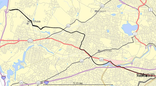
I created this map of my Tuesday bike ride to experiment with different ways to visualize gps data (my route is the heavy black line). This time I used GPS Visualizer , a free online application that converts gpx files into svg maps that then can be converted to JPEGs. The process involves too many steps at this point, but the result is not too bad.
Comments